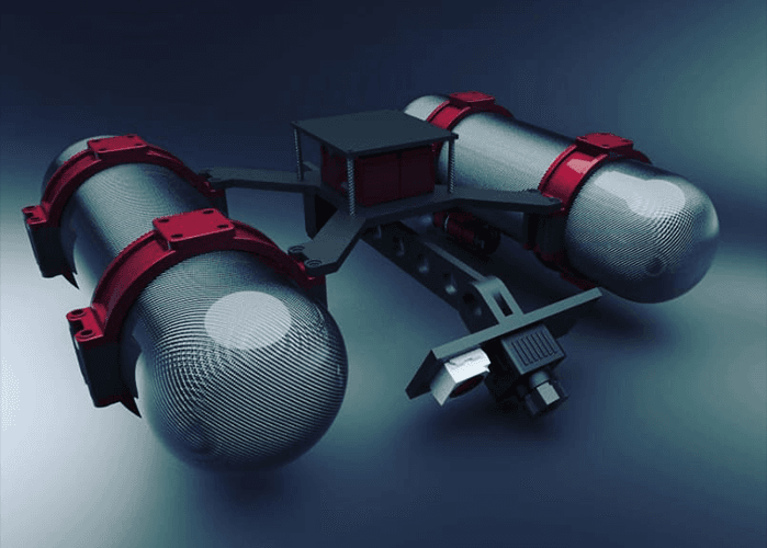
Water Surface Drone for Exploration And Measurement
Computer Vision
A Water Surface Drone for exploration and measurement can scan a waterbed such as a river pool or sea with several types of scanners such as echosounder, camera, lidar, laser as well as several water quality measuring sensors that move automatically with plot routes and several movement patterns controlled via wireless remote control and wifi transceiver for streaming camera and measurement data.
Detail Project
Client
ITS & Idealab
Location
Surabaya, Indonesia
Year
2019
Engineer
Wirayusa & Wahyu Anggoro
Other Portfolios
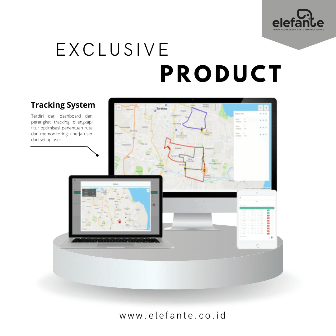
Optimisasi Rute Kapal
Determining the ship route in sending goods to minimize the costs required.
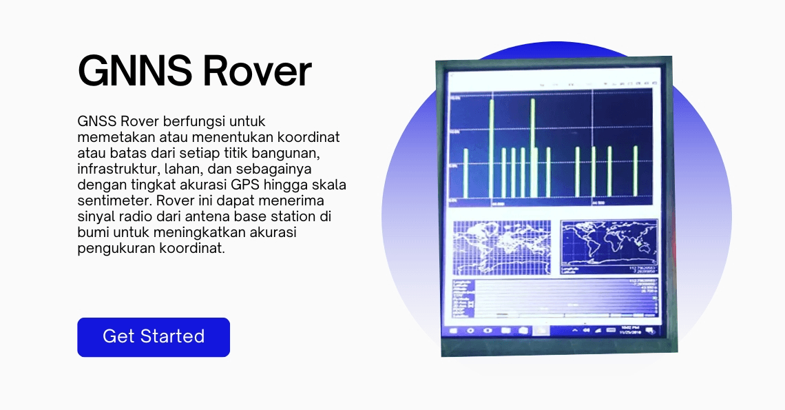
GNNS Rover
A device that functions to determine the coordinates or boundaries of each point on a building, infrastructure, or mapping.
