GNNS Rover
Industrial IoT
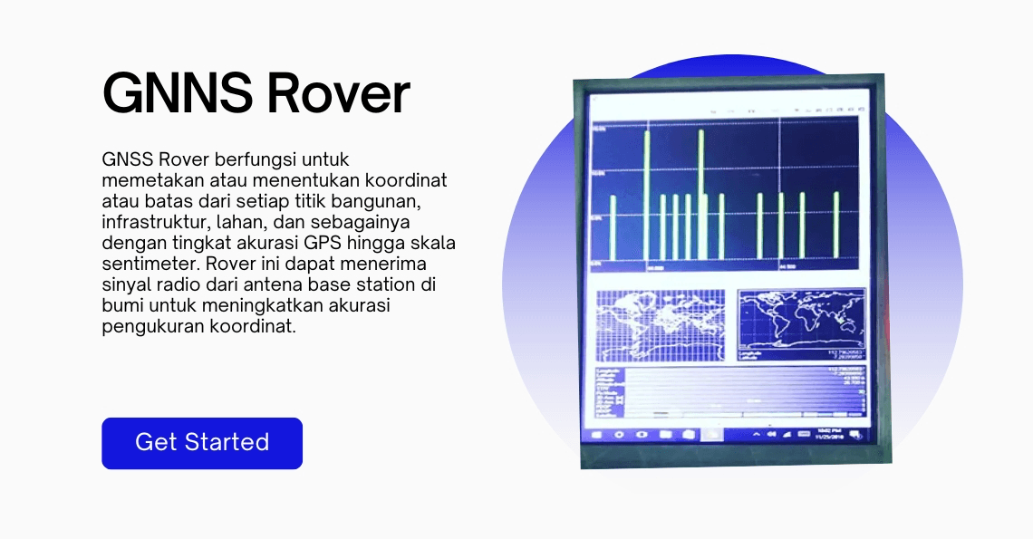
The GNSS Rover is used for mapping or determining the coordinates or boundaries of various points such as buildings, infrastructure, and land, with GPS accuracy down to the centimeter scale. It can receive radio signals from a base station antenna on Earth to enhance the accuracy of coordinate measurements.
Detail Project
Client
Geomatika ITS
Location
Surabaya, Indonesia
Year
2018
Engineer
Wirayusa
Other Portfolios
Water Surface Drone for Exploration And Measurement
The device for calculating the number and size of shrimp uses deep learning computer vision.
